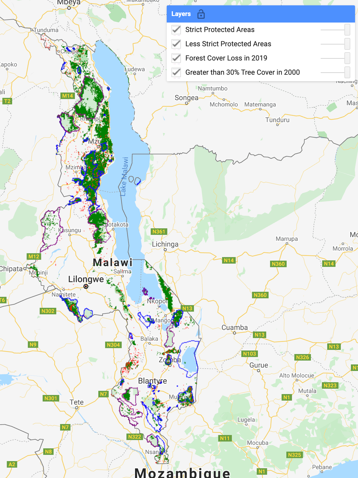
1. Analyzing Tree Cover Loss in Malawi
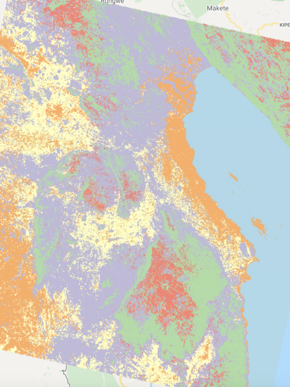
2. Custom-Created Classifications
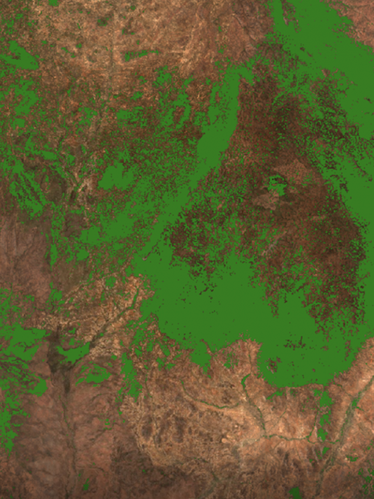
3. Comparing Landsat-8 and Sentinel-2 Classifications
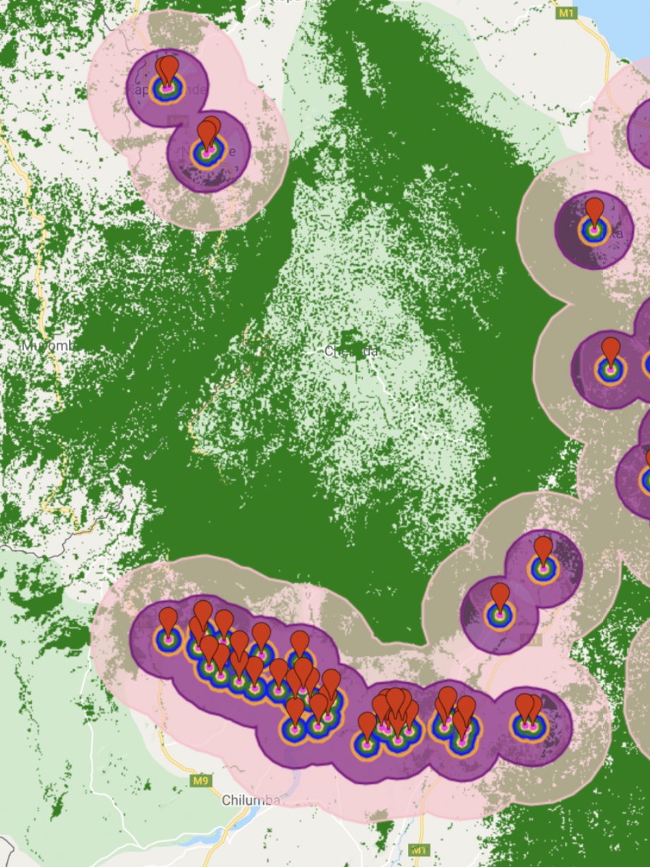
4. Analyzing Tree Cover Patterns Around Settlements
In the following remote sensing problems, I analyzed extant remote sensing products for tree cover, urban areas, and cropland in sub-Saharan Africa using Google Earth Engine. These problems focus on the study region of Malawi, specifically the Rumphi District in problems 2, 3 and 4.